News Summary
Residents in Upstate South Carolina should prepare for severe thunderstorms rolling through the region, including Greenville and Spartanburg counties. The National Weather Service has issued a severe thunderstorm warning with expected wind gusts up to 60 mph and quarter-sized hail. Those outdoors are advised to seek shelter as lightning and potentially damaging winds threaten safety. Hail may also cause minor damage. Safety precautions include staying away from windows and moving to an interior room. The storm is forecasted to impact various towns throughout the evening.
Strong Thunderstorms Are Rolling Through Upstate South Carolina!
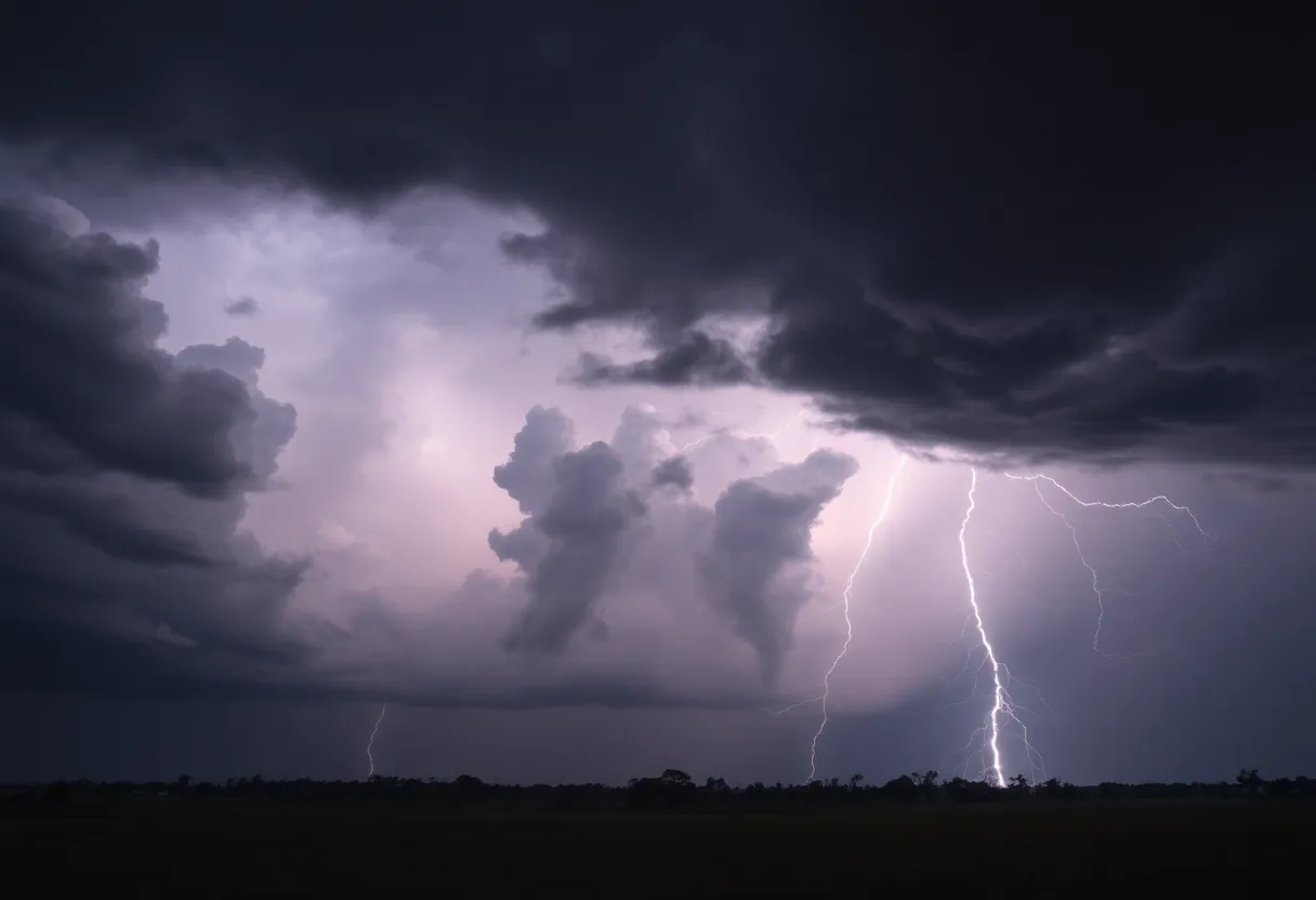
Hey there, folks in Upstate South Carolina! If you’re planning to be outdoors today, it’s time to pay close attention to what’s happening in the skies above. The National Weather Service has issued an update at 5:49 p.m. indicating that strong thunderstorms are rolling into areas such as Greenville and Spartanburg counties. These storms are expected to stick around until about 6:15 p.m., so keep your umbrellas handy!
What to Expect
The forecast indicates some pretty intense weather, with wind gusts reaching up to 50 mph and the possibility of penny-sized hail (about 0.75 inches). At that same time, Doppler radar caught a glimpse of a thunderstorm 7 miles east of downtown Greenville, moving southeast at a leisurely pace of 10 mph.
The winds could get strong enough to knock down tree limbs and send unsecured items flying around, which is never fun! If you have any outdoor decorations or gear, make sure they’re secured. The thunderstorm may also bring about some minor hail damage to items left outside.
Who’s in the Path?
A few of the towns and areas that are likely to feel the effects of this weather include:
- Reidville
- Simpsonville
- Five Forks
- Mauldin
- Greenville Eastside
- GSP Airport
- Taylors
- Greenville Downtown
- Greer
Safety First!
For everyone currently outdoors, it is highly advisable to seek shelter in a sturdy building. Lightning strikes can occur, which is a concern for anyone out and about. In fact, there are about 25 million lightning strikes in the U.S. each year, primarily during summer months. Lightning can be lethal, claiming around 20 lives annually.
Some recommended precautions include moving to an interior room on the lowest floor of a building. Once the storm has safely passed by, you can venture back outside and assess any damages.
Worsening Conditions and Severe Thunderstorm Warnings
Areas that should be on alert include:
- Fountain Inn
- Woodruff
- Simpsonville
- Five Forks
- Mauldin
As always, prioritize safety by heading to an interior room on the lowest floor to avoid the worst effects of the storm.
What’s Next?
Severe weather watches will continue until midnight as those storms move in from the west. Here’s a look at the storm timeline:
- 7 p.m. – Oconee and Anderson counties will start seeing storm impacts.
- 8 p.m. – Expect thunderstorms to arrive in the Greenville area.
- 9 p.m. – Spartanburg area gets its share of the action.
Looking Ahead to the Weekend
For the rest of the weekend, Saturday is shaping up to be mostly cloudy with a high around 77 degrees. Showers and thunderstorms are expected starting after 2 a.m., with lows around 62 degrees. Don’t forget, there’s a 100% chance of precipitation Saturday night, so be prepared for anywhere from half an inch to three-quarters of an inch of rain.
As for Sunday? More rain and possibly more thunderstorms before 3 p.m. with a high around 73 degrees and a strong 90% chance of rain. But don’t worry, things will clear up on Monday, giving us a sunny day with a high near 64 degrees.
If you’re in the area, stay informed and keep safety in mind during this stormy weather!
Deeper Dive: News & Info About This Topic
HERE Resources
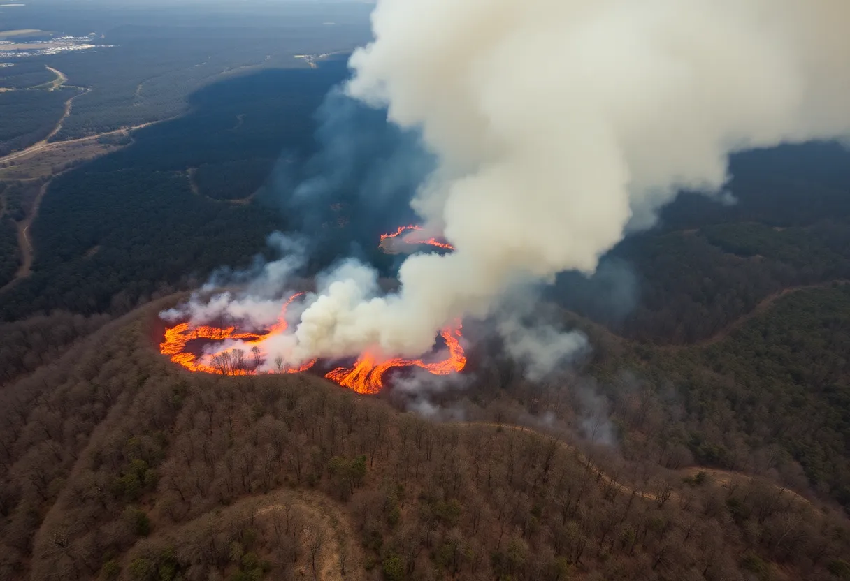
Carolina Forest Battles Expanding Wildfire
Minor Earthquake Shakes Elgin, South Carolina
South Carolina Named the Top Growth State for 2024
South Carolina’s Travel Sector Sees Remarkable Growth
Tragedy Strikes Spartanburg: Dorman High School Loses Three Students
Tragic Accident Claims Lives of Dorman High School Students
Columbia Weather Forecast: Possible Snow This Weekend
Carolina Wildfires Prompt State of Emergency and Evacuations
Rainy Night Drama in Greenville: Drive Fall Short Against Spartanburgers
Traffic Trouble in Spartanburg: I-85 Widening Project on Hold
Additional Resources
- Herald Online
- Island Packet
- WYFF4
- Greenville Online
- Fox Carolina
- Wikipedia: Severe Weather
- Google Search: Severe Thunderstorms
- Google Scholar: Thunderstorm Warnings
- Encyclopedia Britannica: Thunderstorm
- Google News: Thunderstorm Alerts